Sep 29, 2006

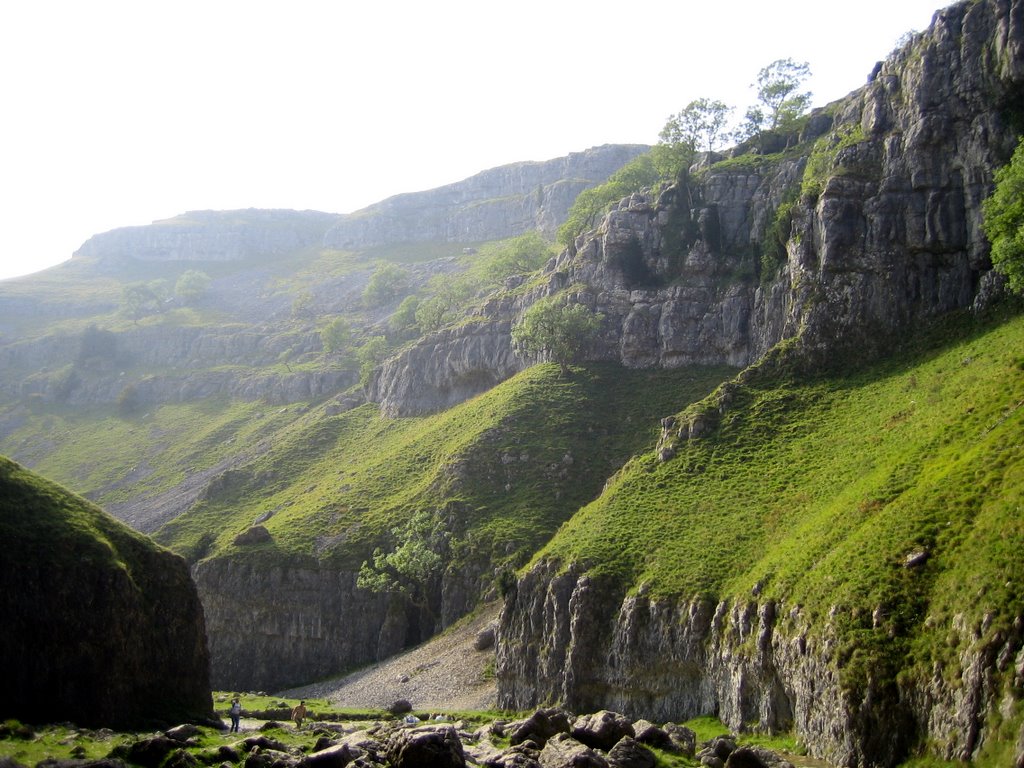
Scotland is beautiful.
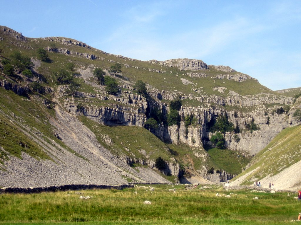
The journey set before us. It looks a little intimidating. We're at the bottom looking at this mountain thinking, "We're going up that thing?!"
Only a short while into the hike and already the ground level world seems so distant. If you enlarge the picture you can see the little cars. We parked in a lot right off the road, so you can see approximately where we came from.
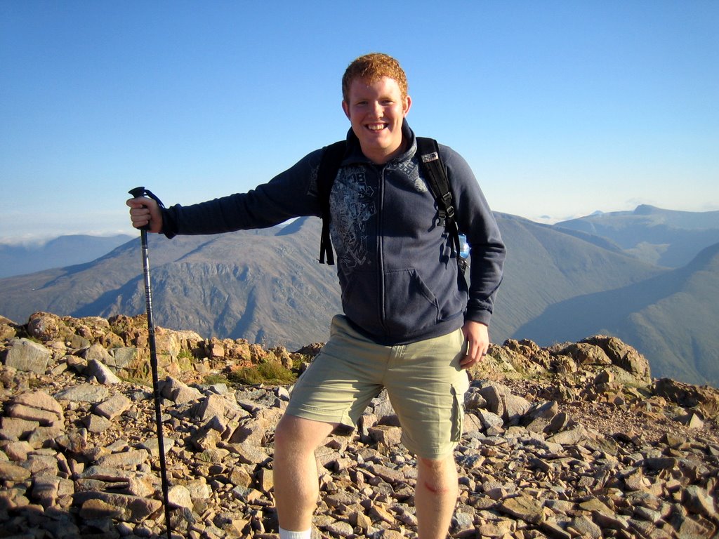
Hiker pole in hand and ready to conquer the world... Actually, we were already taking a break! We had some shoes to tie and other business to take care of. (Hint: There are no public restrooms on the mountains.)
Posted by Picasa
A lot of the hike was through big rocks (sometimes with a stream coming down them) like what is shown in this picture. Some of the time we were scrambling up little pebbles and other times we would face huge boulders that my legs could barely get over!
Look how far we've come already! We're probably 1/3 way up at this point. From here until we reach the top, we didn't take anymore pictures (unfortunately.) The difficulty level continued to rise drastically and we were more concerned with surviving than capturing the moment. It's too bad you can't see what we actually climbed though. Or maybe it's best that you don't see it... for the worrying mothers out there. ;)
Hooray, we've reached the top, (thank the good Lord) but haven't gotten to the very highest point quite yet. We're making our way across this ridge to where those other people in the photo are. Only then can we take a break.
Victory is ours! We are pretty darn happy at this point. We can now rest our weary bodies and get some energy back. We were up there for a good 20-30 minutes before we continued on our way.
Posted by Picasa
This is a short clip we took from the top of the mountain. I'm so glad we thought of doing this at the time! The pictures just don't do the place justice. I hope you get a feel for the views we saw. Enjoy!

The views were so rewarding. It worth every minute on that mountain. Look how tiny the roads look from up here!

Me chowing down! (There was a lot of chocolate involved.)
Some fellow hikers from Wales; a fun bunch to chat with.
Posted by Picasa
Sooo pretty. These pictures are all still the views around us from the top.
I love the layering of the mountains.
There's one happy hiker.
Posted by Picasa
Our next destination was the highest spot on the peak in the distance.
Wild grass colors and small bodies of water made the journey more interesting. I'm glad God mixed it up a little instead of just all green, flat terrain.
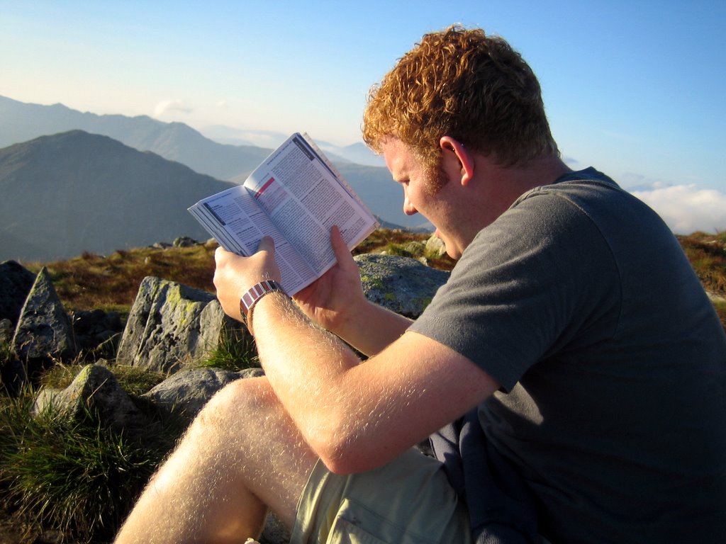
Ahh... we arrived at peak #2 and took a nice little break. That's Brandon's typical squinty face as he attempts to read our hiking book. Heehee. :)
Meanwhile, I got ahold of the camera before we began my least favorite part, the descent.
Posted by Picasa
We're still smiling... that's a good sign!
Fun little waterfall along the way.
Down, down, down we go.
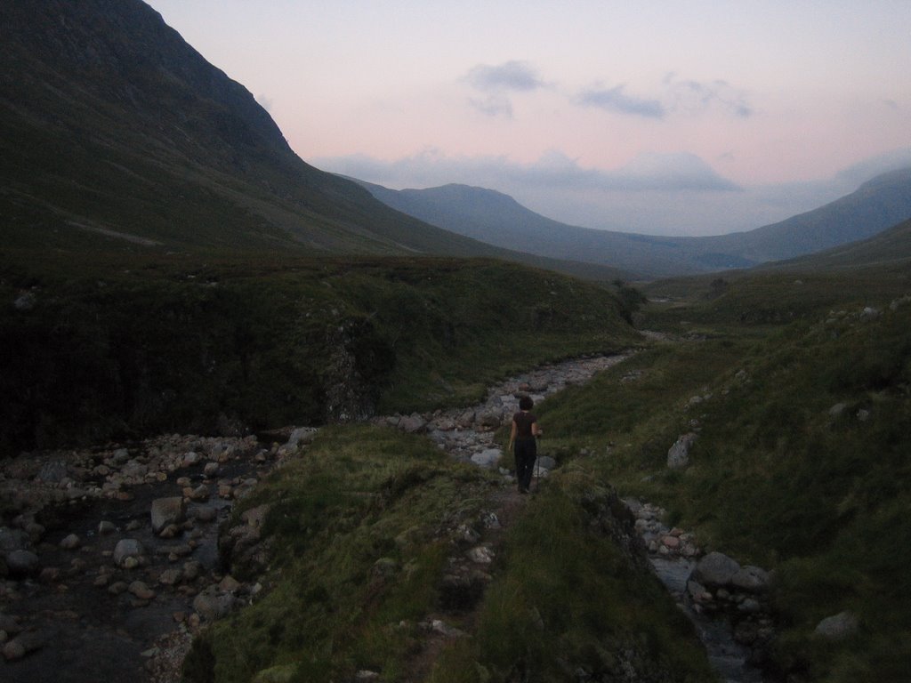
Hooray, we've reached the bottom; we now have a long stretch across and back to the car. This is when we were saying "Uh-oh, it's getting dark out. Pick up the pace!" Little did we know that shortly we'd be hiking in the dark for 30-45 minutes. Although, it felt like an eternity!!
Posted by Picasa
The Bed and Breakfast we crashed at... and I say crash because we literally hit the bed and were gone.
The carpet was too much for me to handle. You can't get much more Scottish than that! Poor Brandon took a fall and there's his wound to show for it. As the saying goes, no pain, no gain, right? ;)
Proof of the treacherous terrain of swamps and mud we trucked through for an hour. Are these not the nastiest socks you've ever seen in your life?!!
Posted by Picasa

Sep 22, 2006

The moderate hike.

This is a local hike we did on September 10th, the weekend after we went to Spain. It was only a 45 minute drive to the location in the Yorkshire Dales and is known to be "one of the best day-walks in England, leading though dramatic limestone cliffs and gorges as well as flat moorland." Although, I got that quote off their website so I doubt they'd say it was one of the worst day-walks in England. :)

The hike was about 8 miles and is categorized as "moderate" in difficulty. It took us 3-4 hours to complete and we climbed an elevation of 350 meters which is 1,148.29 feet or .22 miles. For those that prefer to know the measurement in every other possible form, it was precisely 382.76 yards or 13,779.53 inches. This hike was nothing in difficulty compared to the hike we did in Scotland last weekend... which I'm glad I'm even alive to tell you about. ;) I am greatly anticipating blogging it next week and sharing our wild adventures with you.

Okay, back to our Sept. 10th hike. The first waterfall you'll see in the pictures is called Janet's Foss. Foss is the old Scandinavian word for waterfall. According to legend, Janet was the Queen of the local fairies, and lived in a cave behind the waterfall. The cave was formed by limestone bedrock being eroded by the water and re-deposited on mosses growing on the lip of the fall. That's where the name came from... if you were wondering.

In the pictures, you'll see what I call the "climax" of the hike. It was the hardest part of the day and is described as: "a scramble which is difficult in places and should not be attempted unless you are a fit and experienced walker." In England, they call hikers, "walkers." It definitely doesn't sound as impressive or athletic! But anyway, you'll have to look at the pictures below to see if we made it through the scramble or not. For those that were unwilling or unable to get through the scramble there was an alternative, easier route.

It was a fun day and we were lucky enough to have fantastic weather.

If you're interested, you can go to this website and see the exact breakdown of our hike:
http://www.daleswalks.co.uk/walks/walk37/index.html
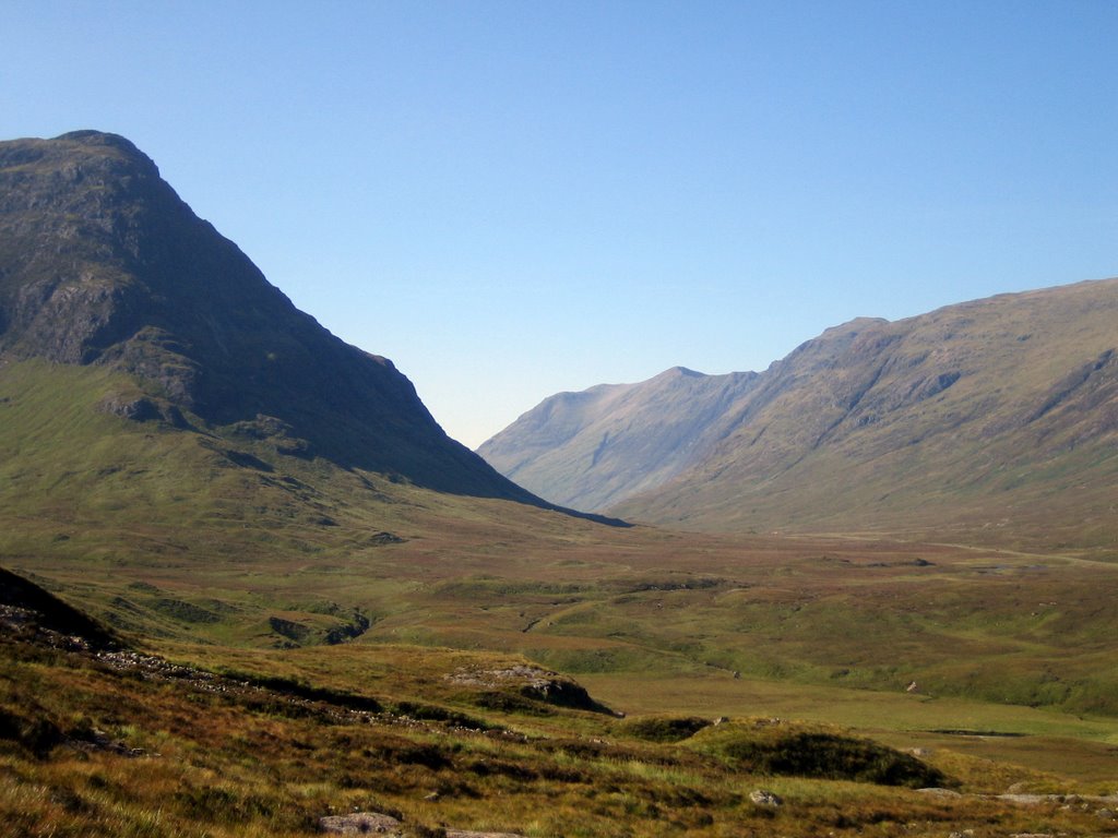
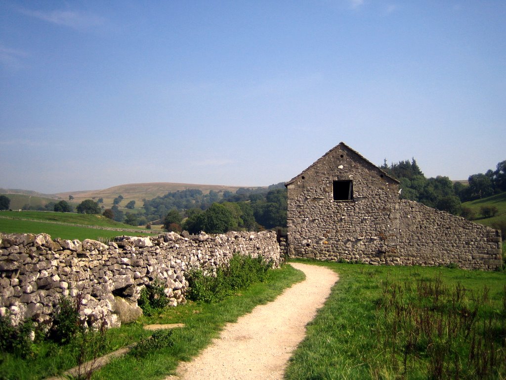
The start of our 4 hour hike. It was a fairly easy and very fun trail.
Our first stop: a beautiful waterfall called Janet's Foss.
Posted by Picasa
Another cool view.
Hiker Brandon.
We have reached the climax of the hike. You either climb up, take an easier, alternative route, or turn around and go home. Which do you think we did?
Some fellow hikers ahead of us... showing you all what we had before us.
Posted by Picasa
AND WE MADE IT! I am glad to have gotten through the hard part.
Looking back down at what we just climbed.
The 2nd waterfall of the day. It was our reward for making it up the climb. :)
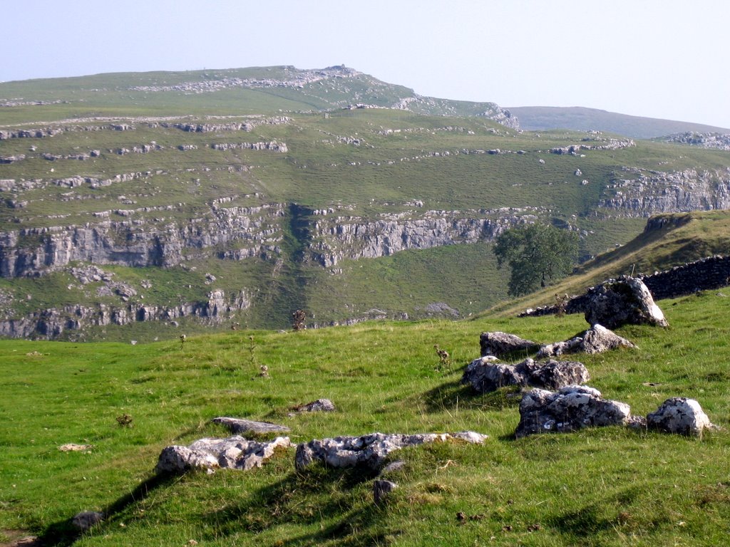
Same waterfall, different view. I like how it flows perfectly out of the big opening in the rock. It looks like it was almost planned, not natural.
Posted by Picasa
The first thing we saw when we reached the top.
The people at the bottom really put it all in scale. (You might have to click to enlarge the picture in order to see the people. They are really small.)Once we reached the very tip top the hike was quite easy. It was a straight, flat stretch for about 30-45 minutes before we headed back down. This is what the view was like at the top in all directions around us.
We've now somewhat descended from the top and arrived at a lake called Malham Tarn. It is one of only two natural lakes in the Yorkshire Dales.
Posted by Picasa